Professional Utility Locating & Mapping Services in Tennessee
Accurate utility locating, GPR scanning, and underground mapping services to help Tennessee projects stay safe, efficient, and on schedule.
ABOUT US
Reliable
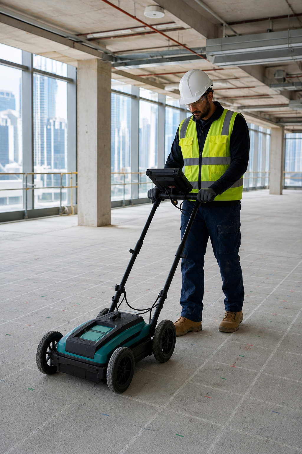
At Utility Locating & Mapping Tennessee, we provide professional underground utility locating and mapping services designed to help contractors, engineers, property owners, and developers make informed decisions before starting excavation or construction. Our services help identify underground infrastructure and reduce the risk of unexpected utility damage.
Our experienced team uses advanced GPR scanning, private utility locating, concrete scanning, GPS/GIS mapping, and utility marking technologies to identify and document subsurface features. By combining field investigation with accurate mapping, we provide reliable information that supports safer excavation, better planning, and efficient project execution.
Whether you are working on a residential, commercial, industrial, or infrastructure project, accurate utility information is essential. We are committed to delivering precise, dependable, and professional utility locating solutions across Tennessee, helping clients understand what is beneath the surface before work begins.
Our Services
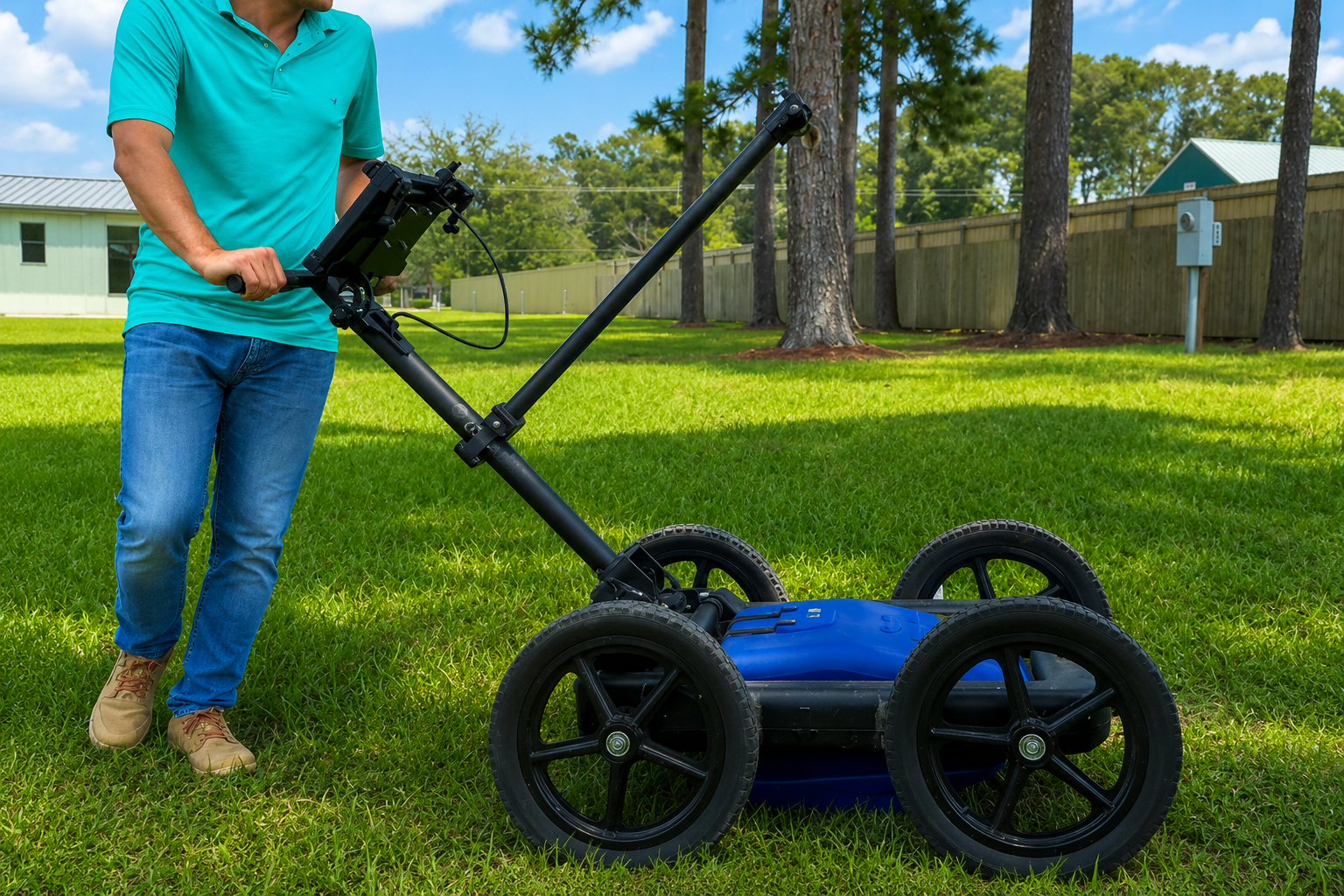
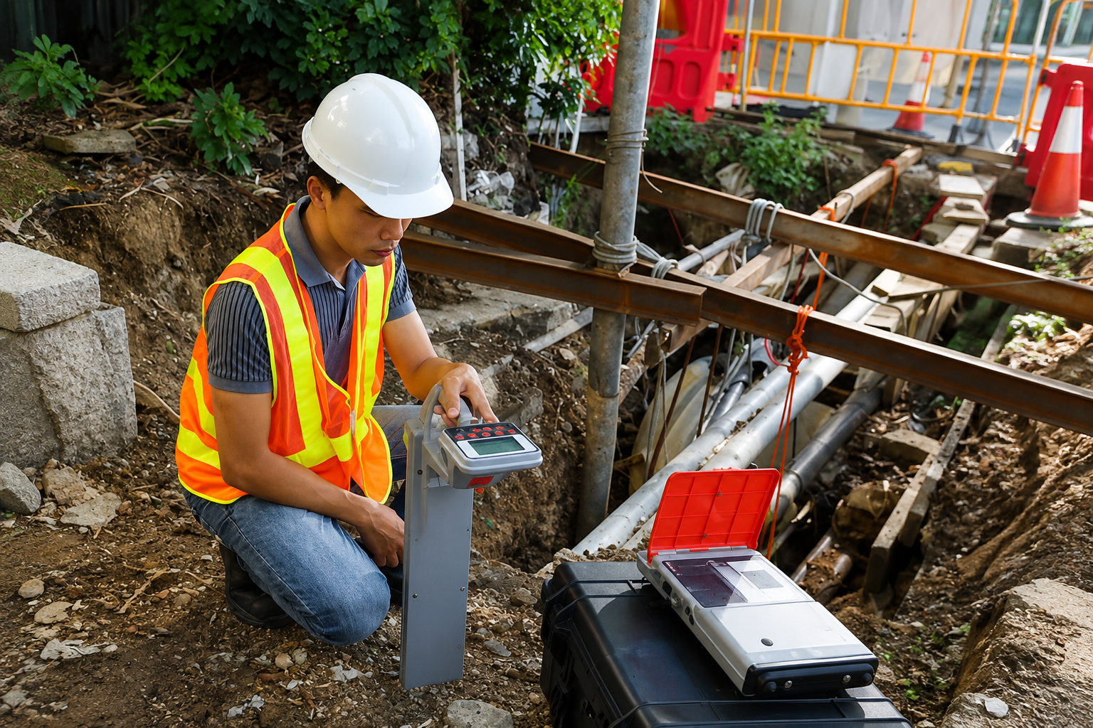
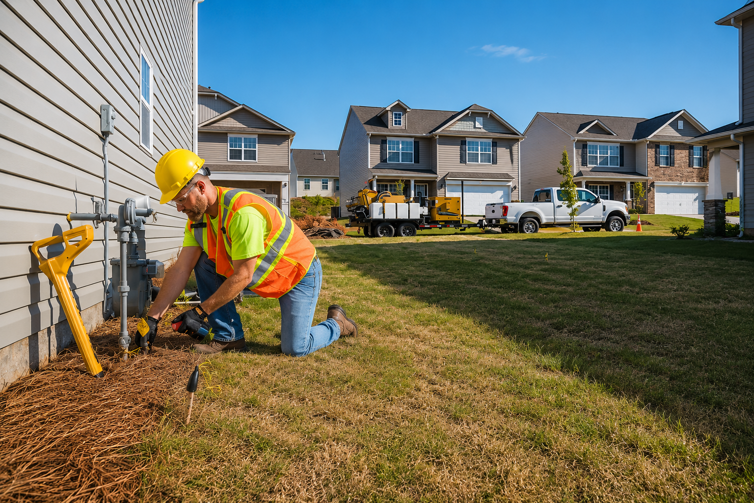
Locate privately owned underground utilities that may not be identified through standard public utility marking. Our private utility locating services help provide a more complete picture before excavation.
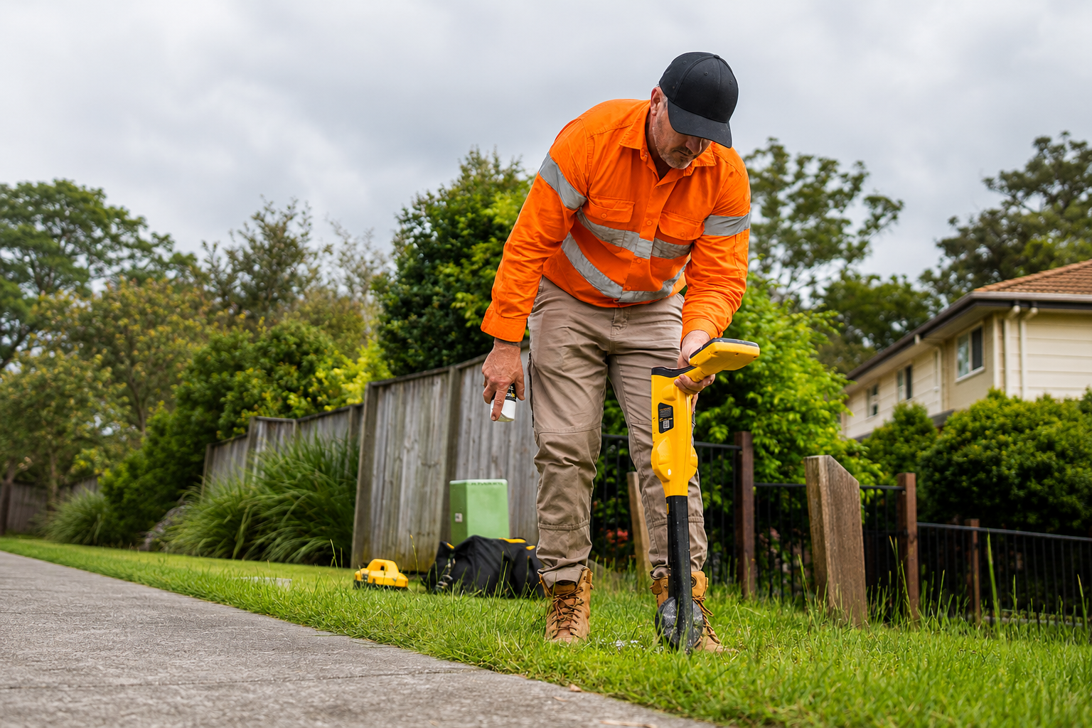
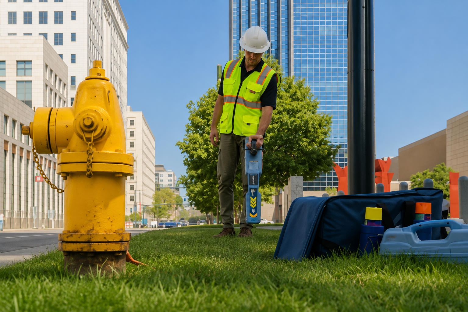
Clearly identify underground utility locations on the surface before excavation. Professional utility marking helps contractors recognize buried infrastructure and reduce the risk of accidental utility damage.
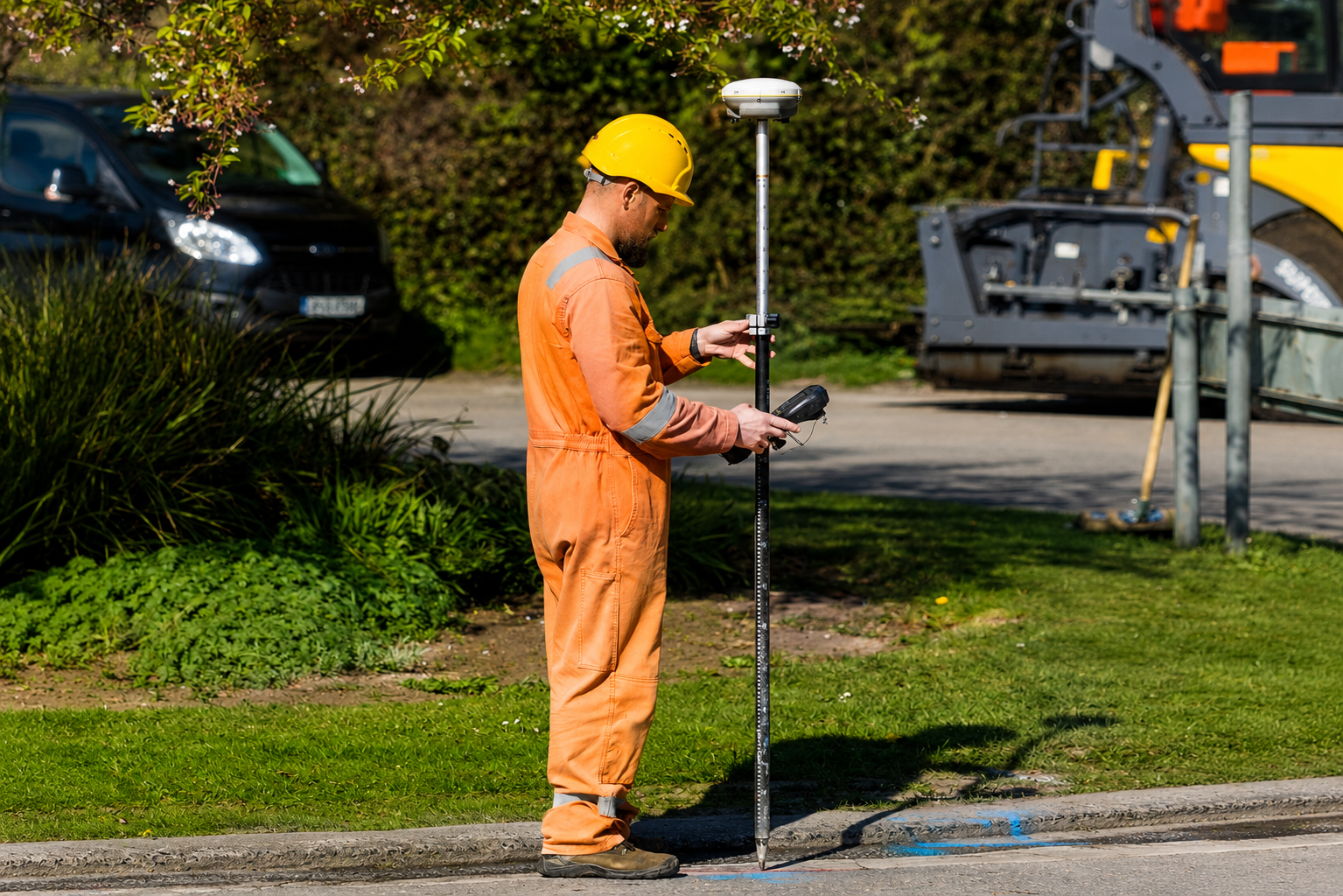
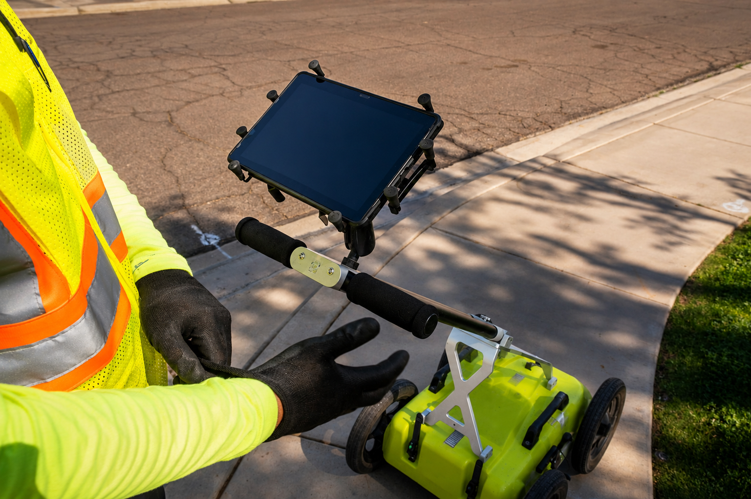
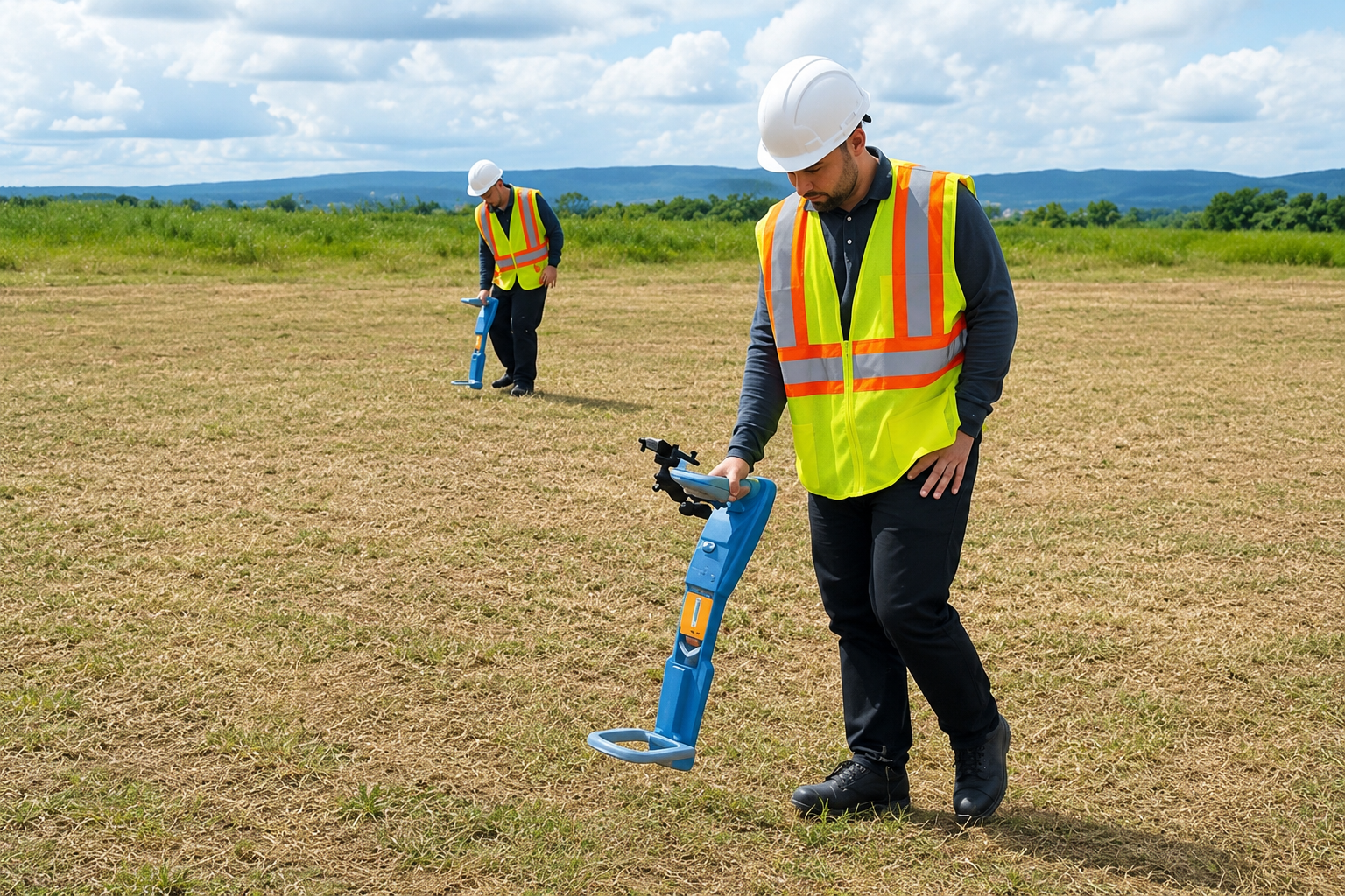
Use Ground Penetrating Radar (GPR) to detect subsurface objects and structures without excavation. GPR scanning provides valuable information for locating utilities, voids, rebar, and other buried features.
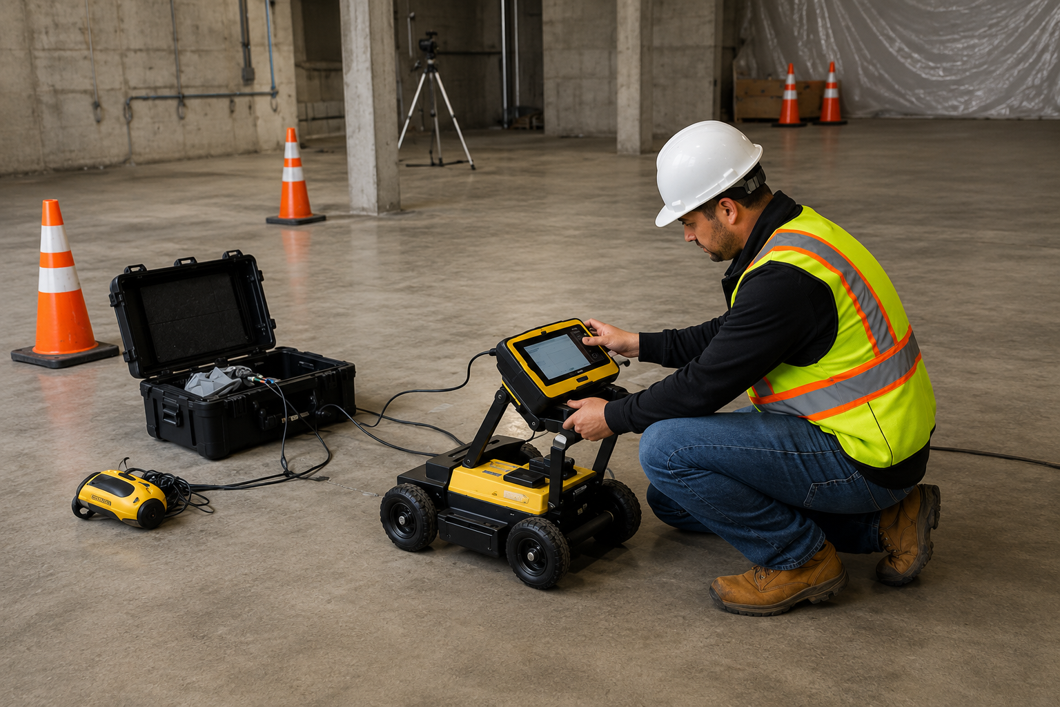
Detect embedded utilities, rebar, conduits, and other objects within concrete before drilling or cutting. Concrete scanning helps reduce damage risks and supports safer construction and renovation work.
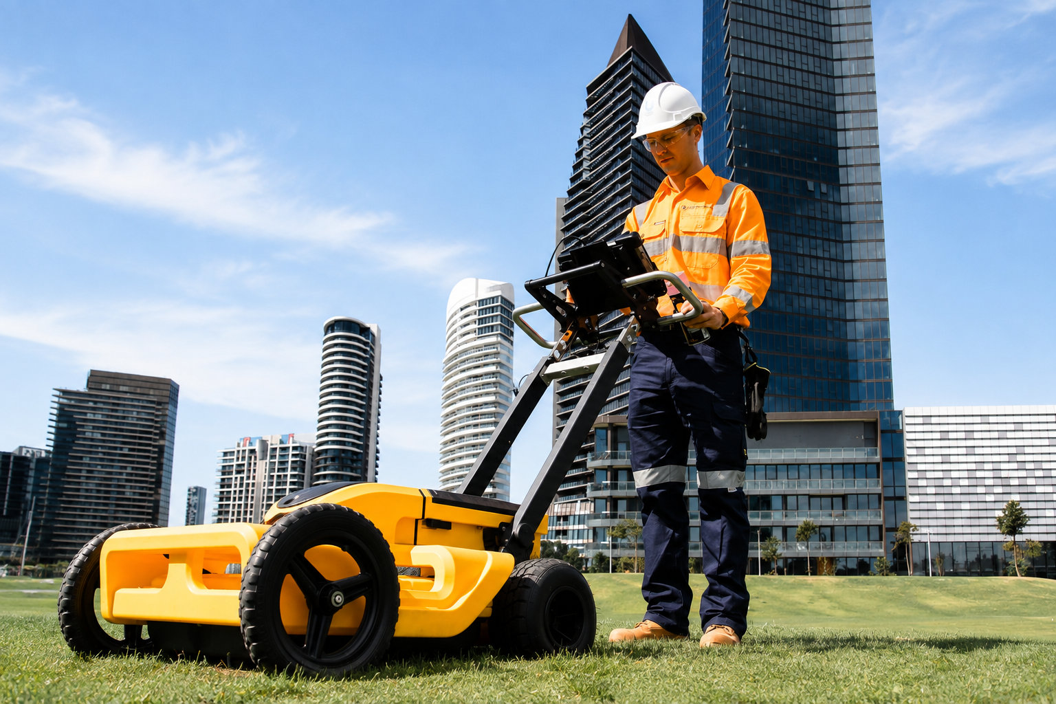
Identify and map underground utility networks with precision. Our detailed utility mapping helps locate buried infrastructure and provides valuable information for safer excavation and construction projects.
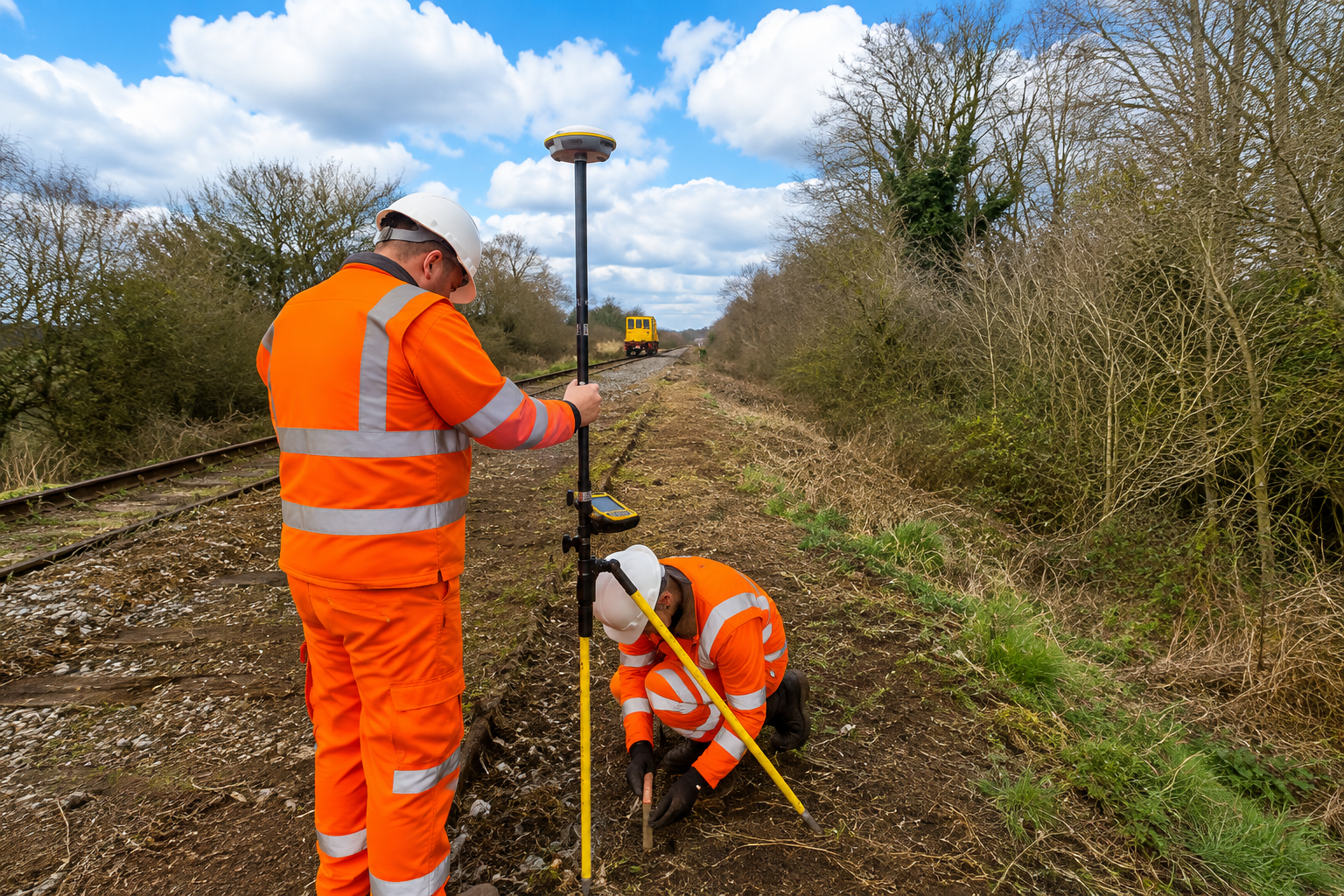
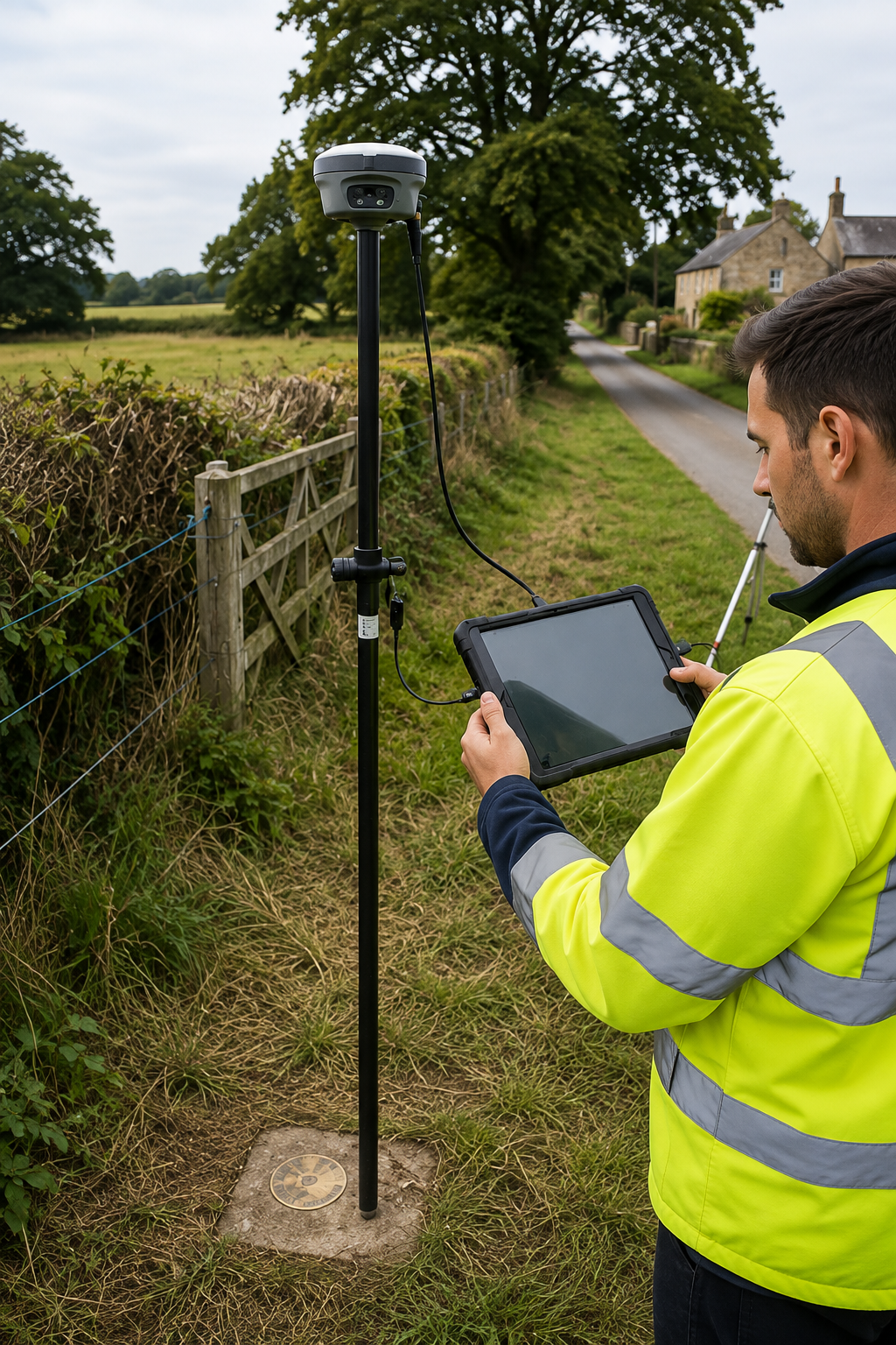
Get accurate GPS and GIS utility mapping to document underground infrastructure, improve project planning, and create reliable digital maps for construction, engineering, and property development.
The Process
Our Simple 3 Step Process

Contact Us
Start by completing the 'Get a Free Quote' form on our website to share your needs with us so we can take care of you.

Schedule Your Estimate
Next, we'll arrange a property visit at a time that works for you to provide an in-person estimate for your needs.

Get The Job Done
After you approve our estimate, we'll schedule a date to complete the job. Our team will work hard to exceed your expectations!
photo gallery
See Why Our Customers Love Us

Our Service Area?
Nashville
Memphis
Knoxville
Chattanooga
Clarksville
Murfreesboro
Franklin
Johnson City
Bartlett
Jackson
Hendersonville
Kingsport
Collierville
Brentwood
Germantown
Smyrna
Cleveland
Maryville
La Vergne
Oak Ridge
Mount Juliet
Tullahoma
Cookeville
Morristown
Gallatin
Lebanon
Columbia
Spring Hill
Farragut
East Ridge
Goodlettsville
Sevierville
Bristol
Greeneville
Dyersburg
Athens
McMinnville
Paris
Lawrenceburg
Shelbyville
Dickson
Manchester
Crossville
Winchester
Union City
Millington
Brownsville
Covington
Ripley
Savannah
Henderson
Lewisburg
Pulaski
Rogersville
Dayton
Alcoa
Newport
Cleveland
Portland
White House
Our Reviews
What Our Customers Have to Say About Us!
The team was professional and thorough from start to finish. They located and marked the underground utilities accurately, which made our excavation project much easier and safer.

We needed GPR scanning and underground utility mapping for a construction project. The service was efficient, detailed, and the information provided was very helpful for our planning.
Excellent utility locating service. The technicians were knowledgeable, arrived on time, and clearly explained the findings. I would definitely recommend them for private utility locating and mapping.
FREQUENTLY ASKED QUESTIONS
What Is Private Utility Locating?
Private Utility Locating identifies underground utilities that may not be marked by public utility providers, helping property owners and contractors avoid unexpected utility lines during excavation.
When Is GPR Scanning Necessary?
GPR Scanning is useful when you need to identify buried utilities, voids, rebar, conduits, or other subsurface features without excavation. It can help improve safety before construction or drilling.
What Is GPS/GIS Utility Mapping?
GPS/GIS Utility Mapping uses precise location data and digital mapping technology to document underground utility infrastructure, creating organized maps that support planning, construction, and future maintenance.
Why Is Concrete Scanning Important?
Concrete Scanning helps locate embedded rebar, conduits, post-tension cables, and other objects before drilling, cutting, or coring, reducing the risk of damaging hidden structures or utilities.
What Is Required Before Utility Locating?
Before locating begins, provide site access, project details, and any available utility records, plans, or drawings. Clearing the work area can also help technicians perform a more accurate survey.
Request A Free Quote
BUSINESS
SERVICES
SERVICE AREAS
OPERATING HOURS
Sun: Closed
Mon: 7:00am - 7:00pm
Tue: 7:00am - 7:00pm
Wed: 7:00am - 7:00pm
Thu: 7:00am - 7:00pm
Fri: 7:00am - 7:00pm
Sat: 7:00am - 7:00pm